Weeks of temperature swings, black ice ahead as Estonia heads toward winter
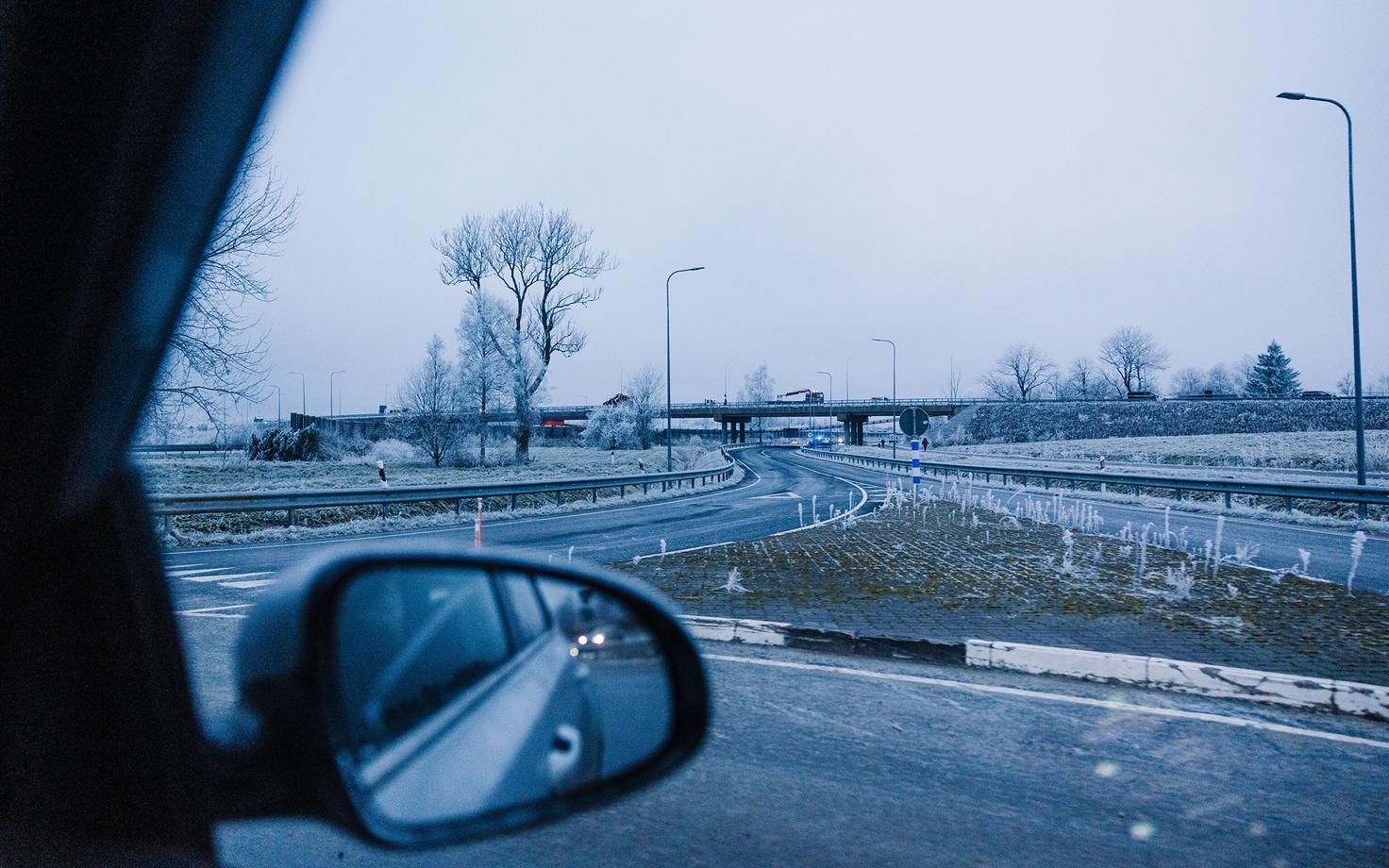
Black ice and temperature swings are in the forecast for Estonia in the coming weeks, bringing slippery roads now and the prospect of a colder, snowier spell later this month.
Tallinn is unlikely to see snow on Friday, said Estonian geoecologist Hannes Tõnisson. While some areas already saw a light dusting of snow in the morning, including in Central Estonia, roads remain too warm for anything to stick yet.
Farther east, and around Lake Peipus, snowfall was expected to be much heavier, with a cloud band moving directly over the region forecast to bring several centimeters of snow.
The bigger concern over the next few weeks, however, is black ice, as temperatures repeatedly hover around freezing.
"Temperatures are so close to freezing that whenever the skies clear, roads can turn icy in no time," Tõnisson explained.
Colder by St. Catherine's Day
Rain is expected in most parts of the country on Friday, but colder air moving in from the north and northwest could bring heavy coastal snow overnight.
Snow could also reach the Tallinn area by Saturday morning, Tõnisson noted, although most of the cloud band is expected to pass east of the capital and rising daytime temperatures are likely to bring rain instead.
He warned that another round of icy roads is possible early Sunday before temperatures climb again next week.
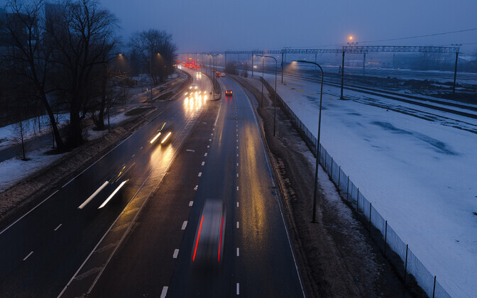
"Along the coast, particularly on the islands and in Tallinn, temps are more likely to stay above freezing," he said. However, the risk of slippery road conditions is expected to persist, especially during brief clear spells.
Inland, temperatures are expected to dip below freezing and stay there the following week, with the arrival of sharper cold and potential for heavier snowfall more likely starting around St. Catherine's Day on November 25.
"We could easily see temps drop to 10 degrees below zero Celsius, and locally dip briefly even below that," Tõnisson said.
Why Estonia's weather is so hard to predict
Tõnisson explained that long-range forecasts are particularly difficult to pin down for Estonia because it lies on the boundary between warm and cold air masses.
"That means we could get either very cold or very changeable conditions," he said. "This happens here all the time: snow on the ground in the morning, it's gone by noon and almost warm enough to go swimming, then the snow is back again by evening."
Weather systems moving in from the Atlantic and circling over Latvia can also have a major impact on the weather in Estonia, depending on their precise position.
"If a system moves directly over us, its southern edge is more likely to bring rain while the northern part brings snow," the geoecologist explained. "But if it passes north of us, you can bet we'll get rain."
--
Editor: Airika Harrik, Aili Vahtla


